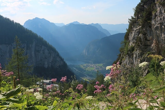
Want to step into a fairy-tale? Described as the “most beautiful gorge in Tyrol”, Wolfsklamm in Stans takes you on an enchanting journey past streams and waterfalls while you trek through the mountains.
Walking up narrow mountainous pathways with stunning views of the forests to walking beside powerful waterfalls, it was everything I’d seen in fairy-tales and more.

Wolfsklamm in Stans – a Brief History:
This magnificent gorge was a result of millions of years of natural sculpting: the force of raging floodwaters cut into the mountain forming a narrow passage and for years people didn’t go inside for fear of its destructive force. Now, thousands of visitors come to hike at this very spot.
Things to know before you go:
- Check the trail is open – they close for winter because the pathways get too dangerous. On their site they say they are open from 1st May to 31st October from 9am to 4pm.
- The Hike is listed as “moderate” difficulty and I’d definitely agree with that – there are some very steep and slippery parts and the wooden pathways get very wet and slippery even on a hot day.
- There is an entry fee (to cover gorge maintenance) – 5 euros per adult and you must pay with cash.
- They do have a car park if you are planning to arrive by car – take a look at their website for more details.

How long does it take?
This is really up to you! On the hiking trail you go past a few different waterfalls, climb up parts of the mountain and get up close to some streams, so when you’ve had enough you can just go back.
We decided to carry on for a couple of hours until we’d gone past all the waterfalls and reached a clearing. All in all, with the 30min trail journey from Innsbruck to Stans and the lengthy walk to get from the station to the start of the hiking trail, it took us about 4 hours. But we did stop for lunch and to take pictures. (On their site it says it takes 3hrs)
How to start your hike:
- Take the bus/train to Stans (train timetable: https://fahrplan.oebb.at/webapp/) (or drive to the marked car park).
- From there follow the lane marked “Oberdorf” and then “Unterforf” until you seen the welcome sign.
- From here you’ll be able to buy your ticket and get a map to help you locate the hiking pathways. From then on, it’s rather self explanatory with carefully fenced pathways and bridges.


